
File:South Africa blank map.svg

此 SVG 檔案的 PNG 預覽的大小:707 × 600 像素。 其他解析度:283 × 240 像素 | 566 × 480 像素 | 906 × 768 像素 | 1,208 × 1,024 像素 | 2,415 × 2,048 像素 | 836 × 709 像素。
原始檔案 (SVG 檔案,表面大小:836 × 709 像素,檔案大小:25 KB)
| 描述 |
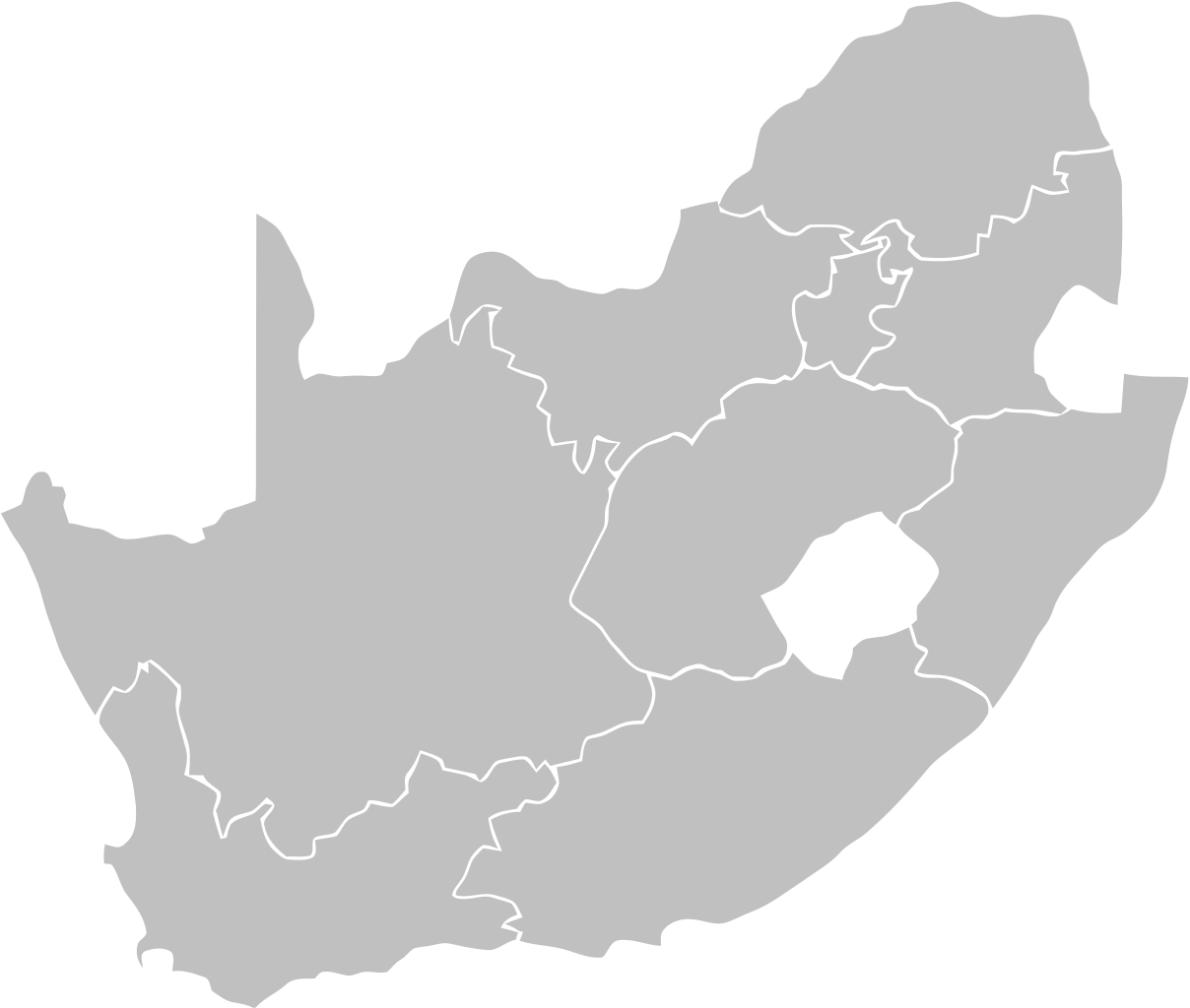
English: Blank Map of South Africa showing provinces. Retouched in order to use it in the geolocation
Français : Carte vierge des provinces d'Afrique du Sud .Retouchée pour pouvoir s'en servir dans la géolocalisation. |
| 日期 | (UTC) |
| 來源 | |
| 作者 |
|
| 其他版本 | Derivative works of this file: Flag-map of South Africa.svg |
| 這是一張修飾過的圖片,即本圖片是用軟體修改過後的版本,修改的方式或內容有:Taille。原版圖片來源:South Africa blank.svg。修改者:Clapsus。
|
我,本作品的著作權持有者,決定用以下授權條款發佈本作品:
此檔案採用創用CC 姓名標示 2.5 通用版授權條款。
- 您可以自由:
- 分享 – 複製、發佈和傳播本作品
- 重新修改 – 創作演繹作品
- 惟需遵照下列條件:
- 姓名標示 – 您必須指名出正確的製作者,和提供授權條款的連結,以及表示是否有對內容上做出變更。您可以用任何合理的方式來行動,但不得以任何方式表明授權條款是對您許可或是由您所使用。
| 此檔案採用共享創意 姓名標示-相同方式分享 3.0 未在地化版本授權條款。 | ||
| ||
| 已新增授權條款標題至此檔案,作為GFDL授權更新的一部份。 |

|
已授權您依據自由軟體基金會發行的無固定段落、封面文字和封底文字GNU自由文件授權條款1.2版或任意後續版本,對本檔進行複製、傳播和/或修改。該協議的副本列在GNU自由文件授權條款中。 |
您可以選擇您需要的授權條款。
原始上傳日誌
This image is a derivative work of the following images:
- File:South_Africa_blank.svg licensed with Cc-by-2.5, Cc-by-sa-2.5,2.0,1.0, Cc-by-sa-3.0-migrated, GFDL
- 2008-03-15T21:48:18Z Mangwanani 1146x828 (108369 Bytes) \'n Mielie ===Lisensiëring=== {{PD}} ===Bron=== *http://www.wpclipart.com/index.html\'n Mielie ===Lisensiëring=== {{PD}} ===Bron=== *http://www.wpclipart.com/index.htmlUpdated version with transparency; shorter.••••••••
Uploaded with derivativeFX
檔案歷史
點選日期/時間以檢視該時間的檔案版本。
| 日期/時間 | 縮圖 | 尺寸 | 用戶 | 備註 | |
|---|---|---|---|---|---|
| 目前 | 2010年1月9日 (六) 13:52 | | 836 × 709(25 KB) | Clapsus | {{Information |Description={{en}} Blank Map of South Africa showing provinces. Retouched in order to use it in the geolocation {{fr}} Carte vierge des provinces d'Afrique du Sud .Retouchée pour pouvoir s'en servir dans la géolocalisation. |Source=*[[:Fi |
檔案用途
下列2個頁面有用到此檔案:
全域檔案使用狀況
以下其他 wiki 使用了這個檔案:
- fr.wikipedia.org 的使用狀況
- ko.wikipedia.org 的使用狀況
- mg.wikipedia.org 的使用狀況